ON THE HUDSON RIVER:
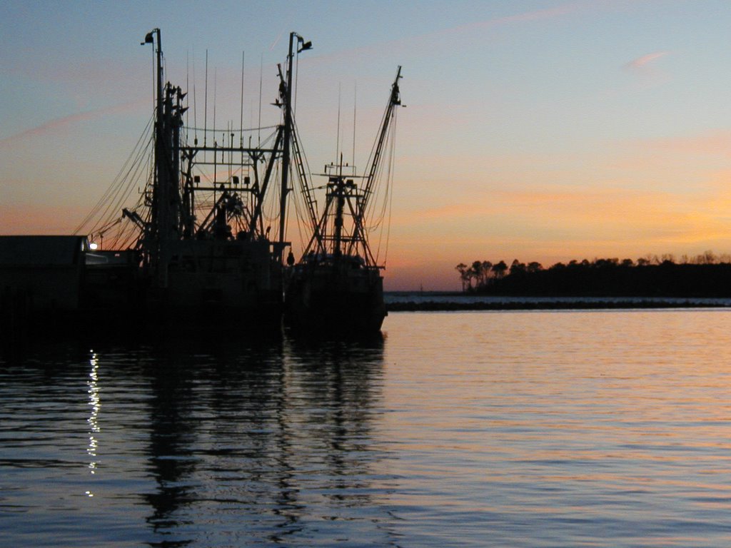
Next stop was at Castleton-on-Hudson, since we were impatient to put our mast back up. April First stopped there as well, and we met other cruisers on their way down or back up. Two of the boats were being cruised by Canadian couples, one on their way down for the first time, the other on their way back up after visiting the wooden boat show in Rhode Island with their self-built wooden boat. There was discussion of stopping places and comparison of boats, and of course food and drink, before most of us took off to follow our separate ways. A note for those passing through: there is an Italian restaurant in Castleton where for a reasonable price you will be served enough food to last you a couple of days - and they pick you up from the Boat Club.
Castleton was the first place we could really see and feel the effects of tides and currents. You could tell the state of the tide by the steepness of the ramp to the dock., and by the direction of swing of the boats on moorings. If you have a tall mast, it is probably better to put it on at low tide! Everyone who happens to be there pitches in to raise or lower masts, and while we were there the number of willing hands and variety of experience made the job easier.
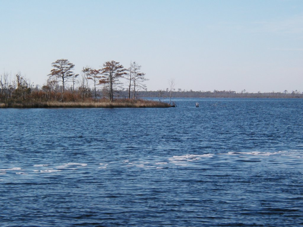
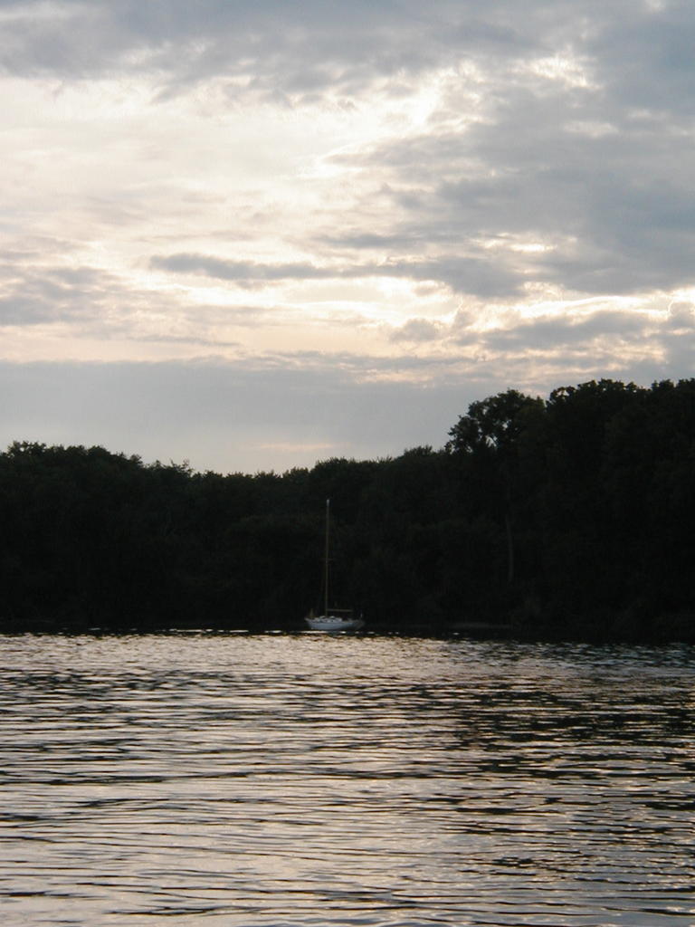
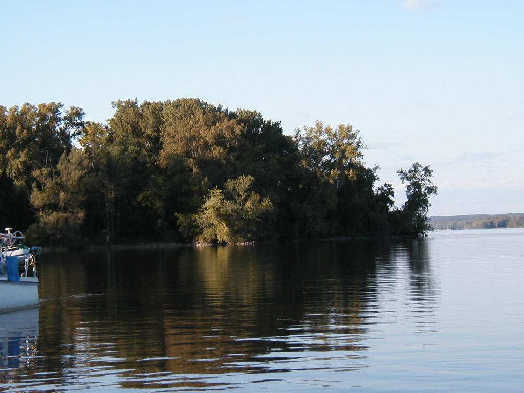
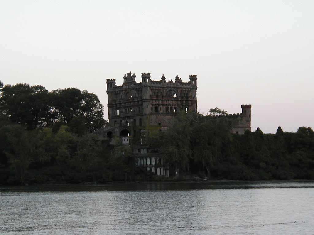
Since Castleton, we have been anchoring out: off Rattlesnake Island, up Esopus Creek at Saugerties (tiny, but very quiet), behind Pelopel Island (interesting ruins, but not quiet - the trains run right beside the river), and then off Nyack for four days waiting for hurricane/tropical storm Ophelia to pass. Behind Pelopel Island we got to feel what it was like having the wind oppose the tide - the boat went in circles around the anchor all night, pushed by the wind and pulled by the tide. At Nyack we had some of the same effects, as the weather and wind direction changed. Makes you grateful for good anchors and a chain rode with swivel.
We were fortunate enough to meet another cruiser based in Nyack at the Boat Club, who was getting his boat ready to head out in a couple of weeks. He invited us to use a dock for our dinghy, and the showers,and encouraged us to explore the town. Last count, two good ice cream shops, one upscale (read expensive) and one the regular, tubs behind the counter kind of place. Nice stores, upscale cars, extremely expensive houses, condos being built on the waterfront; on weekends all kinds of people walking through historic areas or on the main street with their families. When we left, the Nyack Boat Club was in a state of ferment as they prepared for the Ensign Nationals to be held there the following week - forty or fifty boats expected, all an older Pearson design, lines looking very much as if Alberg had a hand in them.
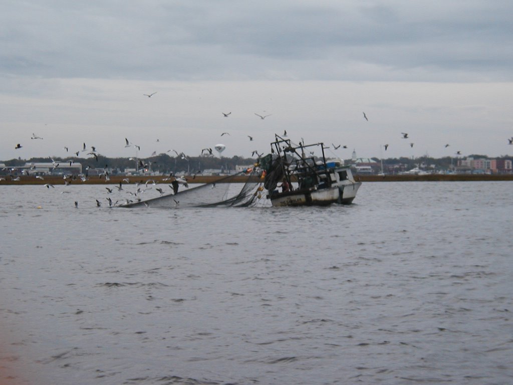
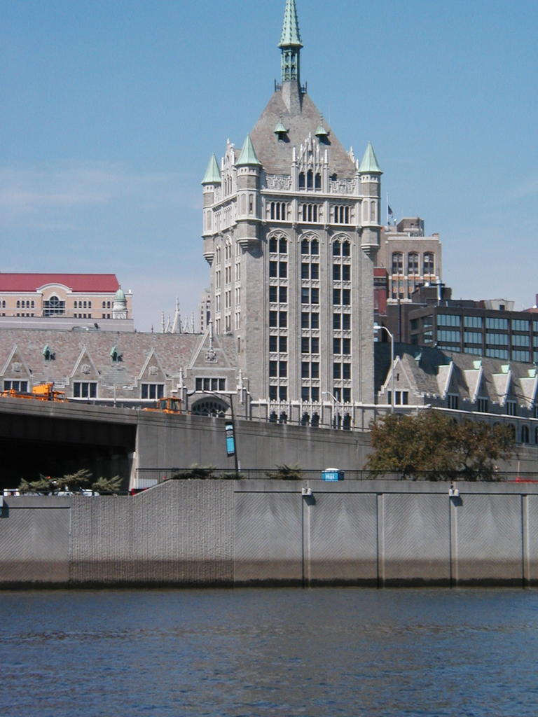
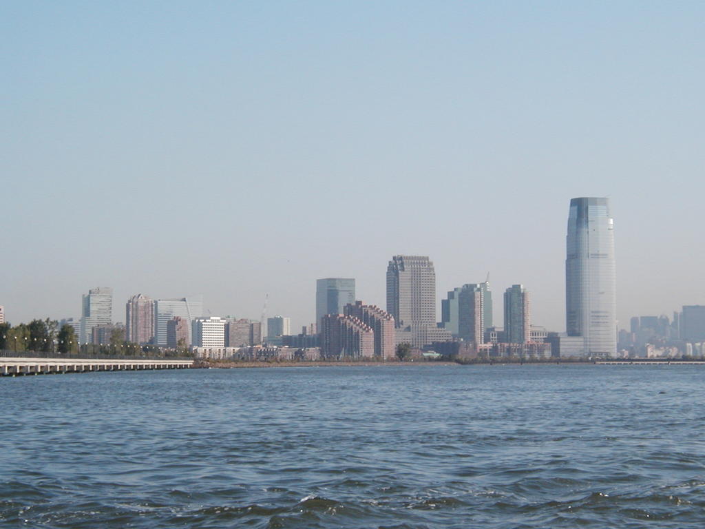
From Nyack we headed for New York City proper. There was a rapid increase in the volume of traffic and the size of boats and ships, and it felt rather like being in a field with trucks and cars coming at you from all directions - not to mention the helicopters overhead and the constant chatter on the VHF. By the time we found the anchorage off Liberty State Park, we were very glad to be in a quiet place. And after they cleared the park of people and vehicles at 10:00 p.m., it was truly quiet. We slept very well.
The rest of the trip through New York Harbour, on our way to Sandy Hook, had us on our toes - boats, ships, ferries and tugs and barges going in all kinds of directions. The Staten Island Ferries, rushing past us, will remain in our memories. We were glad to have that part of the trip behind us when we dropped anchor in Atlantic Highlands. A couple of nights there - we followed what has become the usual routine: find the laundromat, the grocery store and the hardware store, and look for internet access. We did find the latter, but just as we were getting ready to leave.
A Touch of the Atlantic:
From Sandy Hook we hoped to make the run down to Cape May in one go. All went well, though we had a brisk night, until we ran out of wind on our second day out, and the engine decided that it could not run on fuel mixed with water. We ended up sailing into the anchorage behind Rum Point in Atlantic City, and taking a day to sort out the fuel problem (read drain the water out of filters and hoses). Then we waited a day for the 20 to 30 knot winds to die down, joined by another cruising sailboat which we will probably see sometime further along, since they travel more quickly than we do.
Bright and early the following day we set out for Cape May, after stopping for fuel at one of the marinas across the inlet - we almost had to sail up to the fuel dock, but made it there under power. Then we motored out the inlet, set the sails and enjoyed a day of good sailing down to Cape May. We anchored outside the Coast Guard station with a few other boats, in preparation for an early start down Delaware Bay the next morning.
Delaware Bay and Chesapeake Bay:
We were on our way by 7:30, to try to make the most of the tides and currents. With a strong wind behind us we made very good time up the bay once we cleared the Cape May Canal. The sailing was hard work, but we covered 55 miles in about nine hours, and were able to motor down the Chesapeake and Delaware Canal to Chesapeake City (about 14 miles) the same day, getting there at about 7:30 in the evening.
We spent a couple of nights in Chesapeake City, where we met again a couple of boats we had been with earlier. Then we set off for our first anchorage in Chesapeake Bay proper - Worton Creek. Since the channel in the upper part of the bay is narrow, and we do not know the area, we motored most of the way. When the alternator decided to detach itself from the engine, we changed to sail while Richard created a temporary fix, and then motored for the shortest time possible to go into the creek. It is shallow, but the tides and currents are much less than in the Bay.
The creek provides a very sheltered anchorage, and is a good place to pass a bad weather day. We actually anchored three times - once to put the alternator back in place after the temporary fix did not last long enough, once outside a marina which turned out to have no services, and once to anchor outside Worton Creek Marina, which turned out to have everything we were looking for - bolts, showers, laundry facilities, water - and friendly people. And we ran into the people we had met while anchored in Atlantic City.
It was when we left Worton Creek that our introduction to Chesapeake Bay began, or at least to part of it. As we cleared the entrance of the creek we saw another Alberg 30 sitting at anchor. People with Alberg 30s tend to be a sociable bunch, so we went over to pass by and say hello. This particular Alberg 30, as it turned out, was being sailed by Jay and Joan, and Jay was Cruising Commodore for the Alberg 30 Association, and there was a rendezvous on the weekend and a cruise the following week, and would we like to join in? The rendezvous was on our way to Annapolis, and we had some work that needed doing once we got there, so why not take a slight detour? We headed for the Magothy River, and so began our time with a group of very warm, friendly and helpful people.
We went to the rendezvous. Then, with help from various people, the things we had thought we had to go to Annapolis to do got done - and we were joining the group for four days of their cruise. We visited beautiful places we would not have gone to if it had not been for the cruise, got to know people in the group better, enjoyed good company and good food. It was arranged that we could stay at a dock on Spa Creek belonging to a member of the association, so we did not have to worry about finding space. When the day came to leave we left early with a mixture of reluctance and anticipation heading for Annapolis, there to meet some of the friends we missed from Canada, to catch up with friends met along the way, and to go to the boat show.
Our first day in Annapolis was odd - we kept running into people we knew. In spite of rain and high winds, we met with the Queen City YC group, got to the boat show, found the showers and the laundry - an amazing amount of time is spent in each new place finding these very basic things! An added bonus - we found two places offering free wi-fi - and the possibility of communicating again. We had planned to pause in Annapolis for a little while, to meet with the Canadians coming down for the Alberg Canadian-American Friendship Weekend, and are very glad we did. Not only did we get to see everyone, we crewed in the races and enjoyed another weekend of hospitality and friendship. And we found that we had tied up at a home where again we benefited from both practical help and hospitality.
Now we are working on getting a few of those boat jobs that need to be done off the list, and planning to set aside a little time for actual sightseeing. We think we will head south again this weekend, but with yet another hurricane off the coast of Florida we will be keeping a sharp eye on the weather. Trying to keep ahead of the snow and behind the hurricanes...
Written Nov 8, 2005
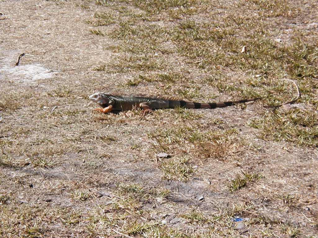 Close to No Name Harbor in Bill Bagg Cape Florida State Park this iguana grazed calmly while we took his picture, more concerned about eating than being approached.
 The gulls in Bill Bagg Cape Florida State Park were cautious but not frightened when we approached them as they foraged on the beach.
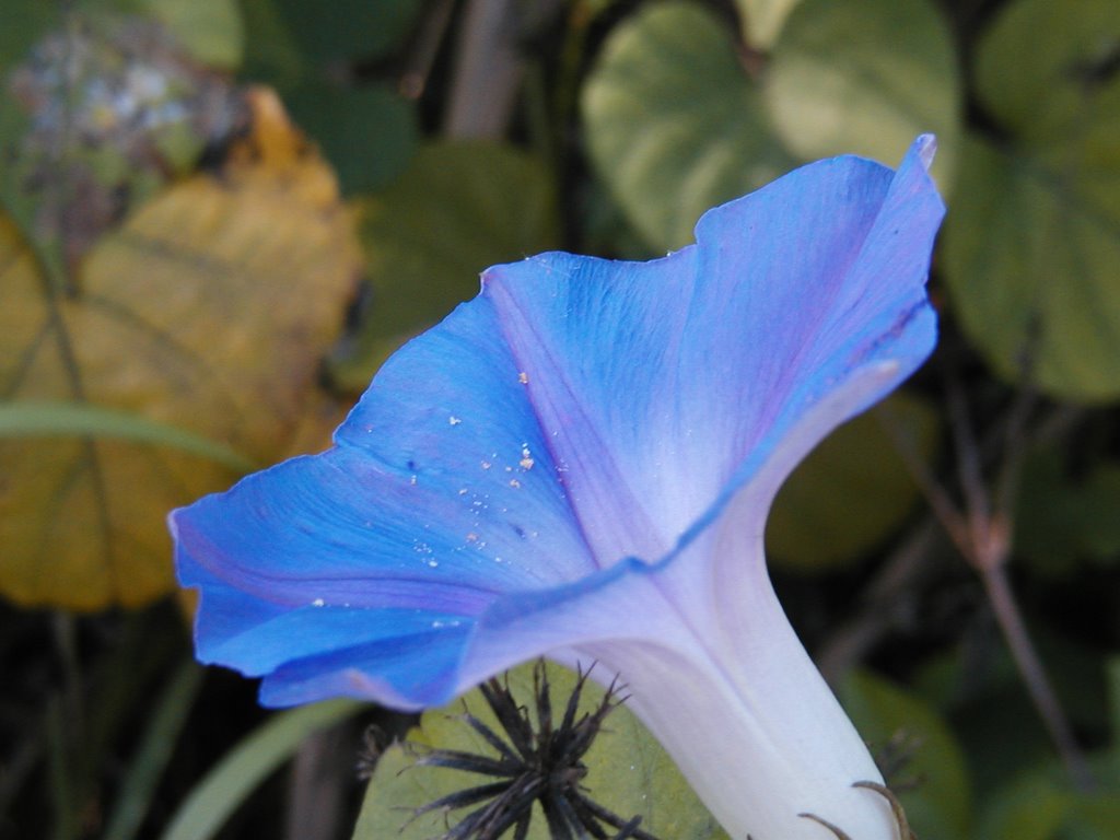 The nature trails around No Name Harbor were surrounded by trees, bushes and flowers much visited by bees and other insects, including this one.
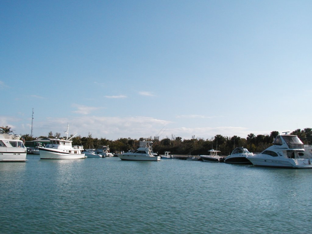 No Name Harbor could get very crowded, especially when a possible weather window for crossing to the Bahamas combined with a long weekend. One weekend there were 35 boats in this small harbor, 25 powerboats and ten sailboats.
 We spent time in and outside Hurricane Harbor on Key Biscayne. The scenery was dominated by large houses, each with its own style; orange seemed to be a popular colour, and the Spanish influence was everywhere.
 Hurricane Harbor would probably have more boats anchored there if the entrance, between two shoals, seemed less intimidating. It provides good shelter, the holding is good (extra good if you pick up another anchor as well as your own, as we did) and it is surrounded by obviously upscale houses, some of them beautiful.
 The weather at this time of the year in the Bahamas is a constant flow of cold fronts, bringing cool winds and unsettled weather. Here the sun sets over Great Harbour Cay on a blustery day when the fishing boats were sitting on the banks waiting for better weather.
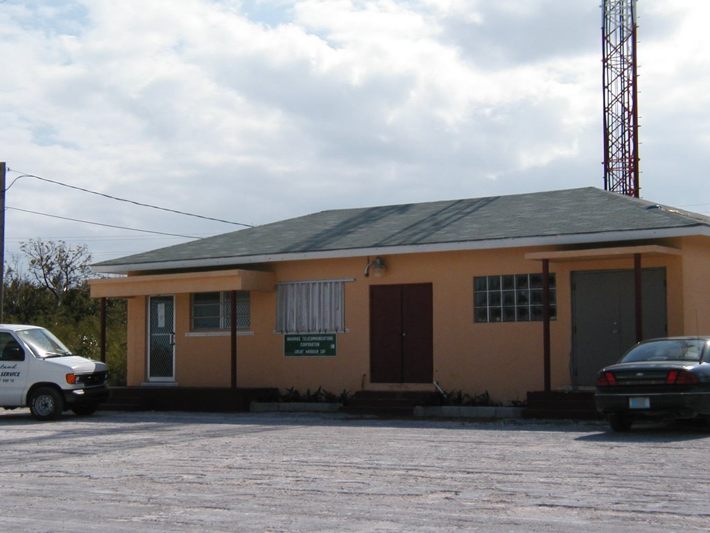 The telephone company office on Great Harbour Cay. The whole premises consists of the office, another building and some telephone boots, and two transmission towers. On the left hand side of the picture is the island bus, which can be summoned on VHF 16.
 This rooster crossed the street safely, hurrying across as if he knew it was wise. Not that traffic is particularly heavy, at least at the times we have been in the village. Perhaps it is different when the mail boat comes on Wednesdays, carrying mail and food supplies from Nassau - if the weather is bad the boat simply does not come until the next week - and the same thing for the weekly fuel barge!
 In the Bullock Harbour Settlement on Great Harbour Cay (usually just called "the village") the school buildings lie on either side of the road, and motorists are reminded to slow down by two hand-made signs.